


Sedona, Arizona: Exploring with Baby and Dog in tow in the Winter of 2016
September 27, 2018
Jamie, Maxx, Silas, and I took a hiking/photo trip to Sedona, Arizona during Christmas week 2016. The trip was an overall success but it took a lot of planning and being flexible with the weather as well as where we could go and not go with a baby and a dog.
I had been wanting to photograph the desert covered in snow for a long time. I can probably trace this desire back to a time when Jamie and I stayed at Red Rock hotel outside of Las Vegas and there was a photo set on the hotel walls of the Red Rock Canyon State Park (the Nevada one) covered in snow. I liked the juxtaposition of a desert which usually conveys dry, hot, arid environments and the newly fallen snow which conveys the cold and wet. It was also transformational. I had been to the park only when it was bright and sunny out and the ground was dry. Seeing the whole scene coated in snow brought out a new landscape and changed usually dirt covered sections from a dull brown to a bright blueish white. The plants and trees that do live in the desert also took on new forms.
Since Jamie knew I wanted to photograph a snow covered desert, she planned a trip to Sedona in the winter. Sedona is beautiful all year round but in the winter even more so. She had already wanted to go to Sedona so it was a win-win for us. The first challenge was to find an available place to stay that allowed dogs. We decided to book The Butterfly Garden Inn which is just north of Sedona on AZ 89A. They have some cabins which allow dogs and they have heat via a gas fired ben franklin stove.
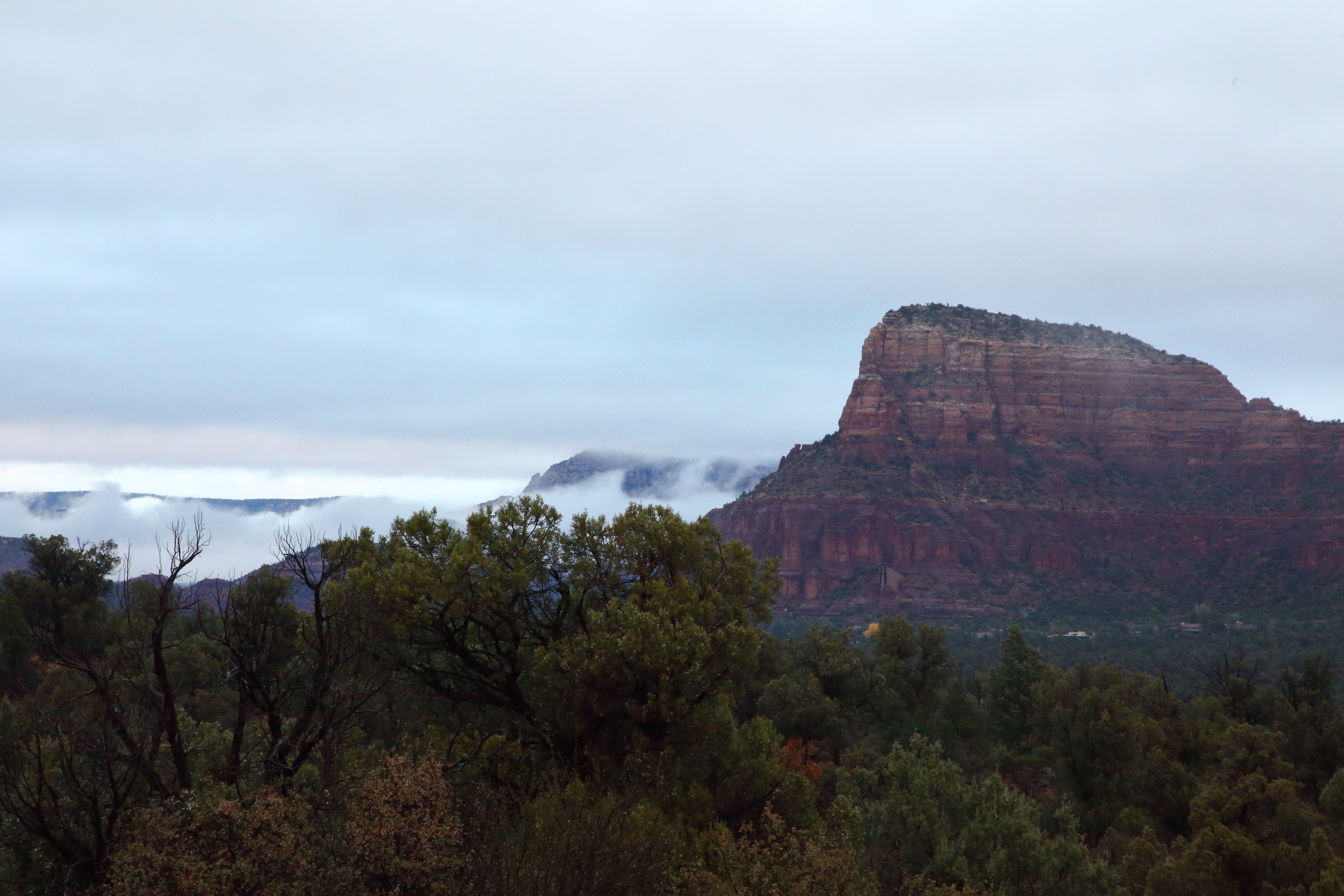
I worked the graveyard shift before the vacation so I actually slept during the day when I got off and started driving in the evening towards Arizona. I drove all night and we arrived in Sedona just as the sun was coming up. The first place we stopped was the parking lot next to Bell Rock Bell Rock Access Trail, Sedona, AZ 86336. It had just stopped raining and the ground was slightly wet as we got out to stretch and walk Maxx. These photos show the typical Sedona landscape; Red rock outcroppings and formations and evergreen trees. A fog was setting in and it was a quiet morning.
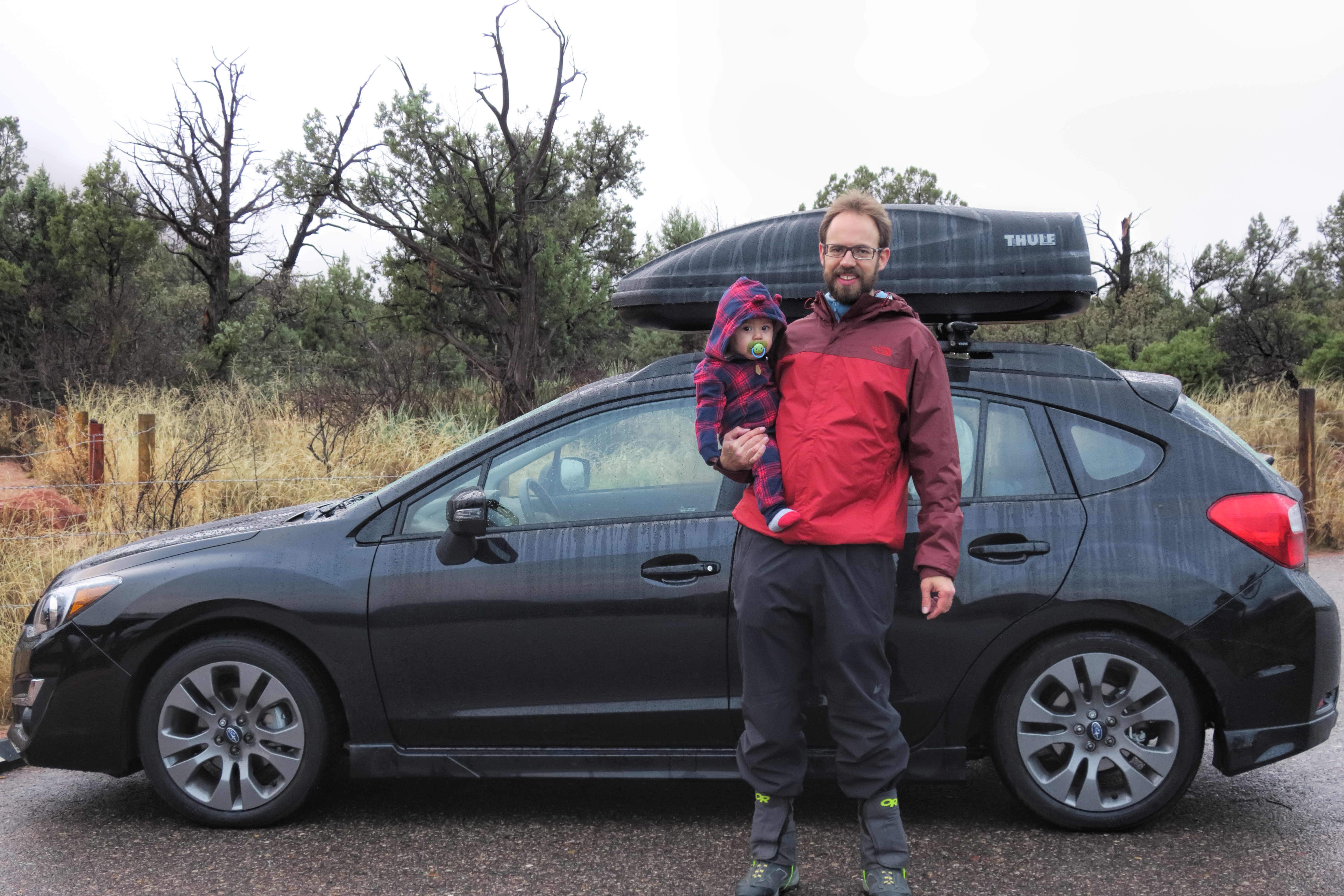
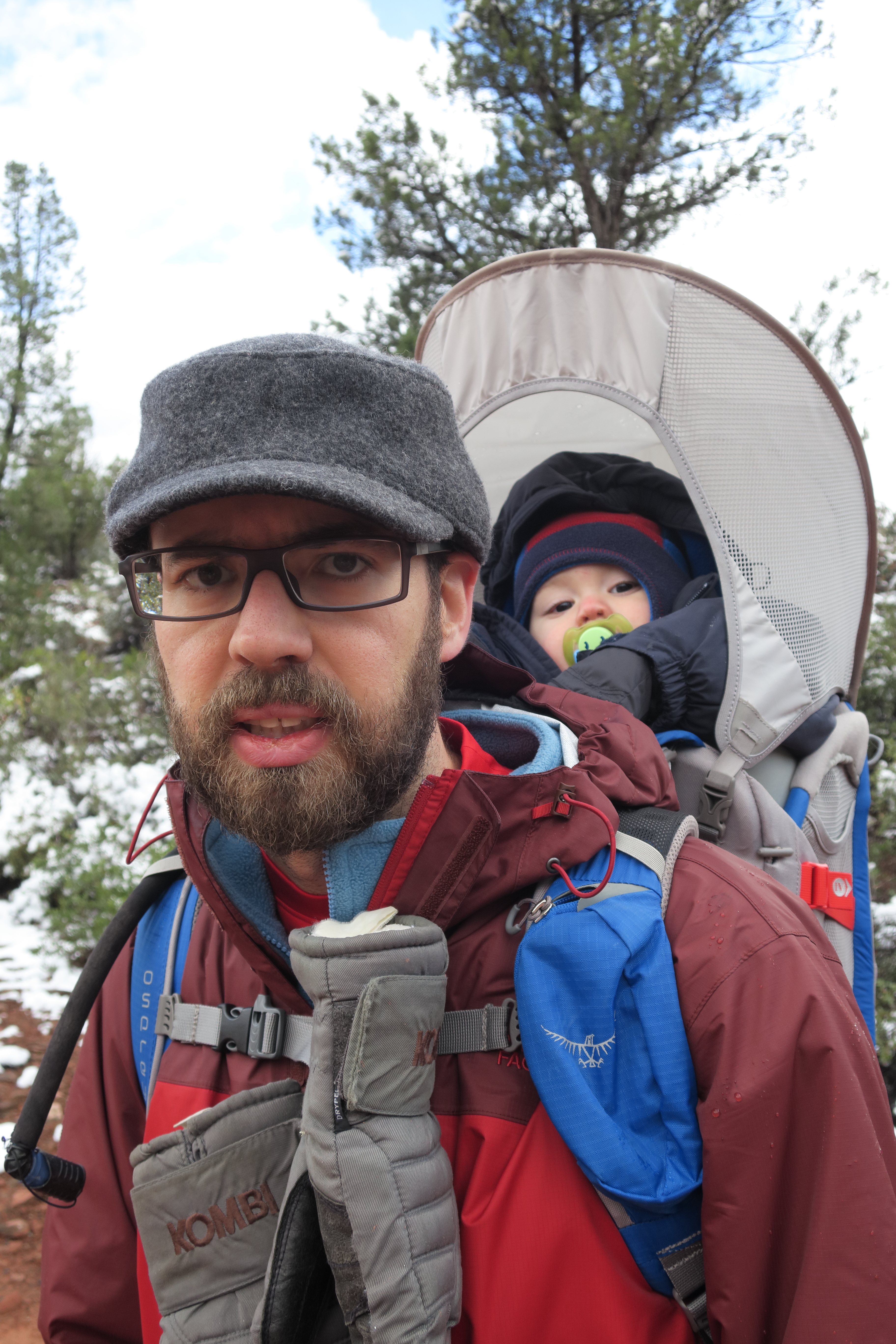
Silas wanted to get out and see Sedona.
From there we set off to find breakfast at a restaurant where we could bring a baby and a dog. We ended up at The Secret Garden Café. They have a patio that is partially covered and allows dogs. It was still early but we wanted to find our cabin and get familiar with its surroundings. As we drove up Arizona State Route 89A we passed Midgley Bridge for the first time. We would end up coming back here several times. The bridge crosses Wilson Canyon where it intersects with Oak Creek and the parking lot serves as multiple trailheads. As we drove up further, we saw the swollen creek just full of water. We could tell that the water levels were above normal based on the amount of creek crossings that were impassable. Once we arrived at the Inn, we were assigned a cabin with a secluded entrance and plenty of space to park right near the door. We unloaded anything we didn’t need to keep in the car and set off for a quick hike.
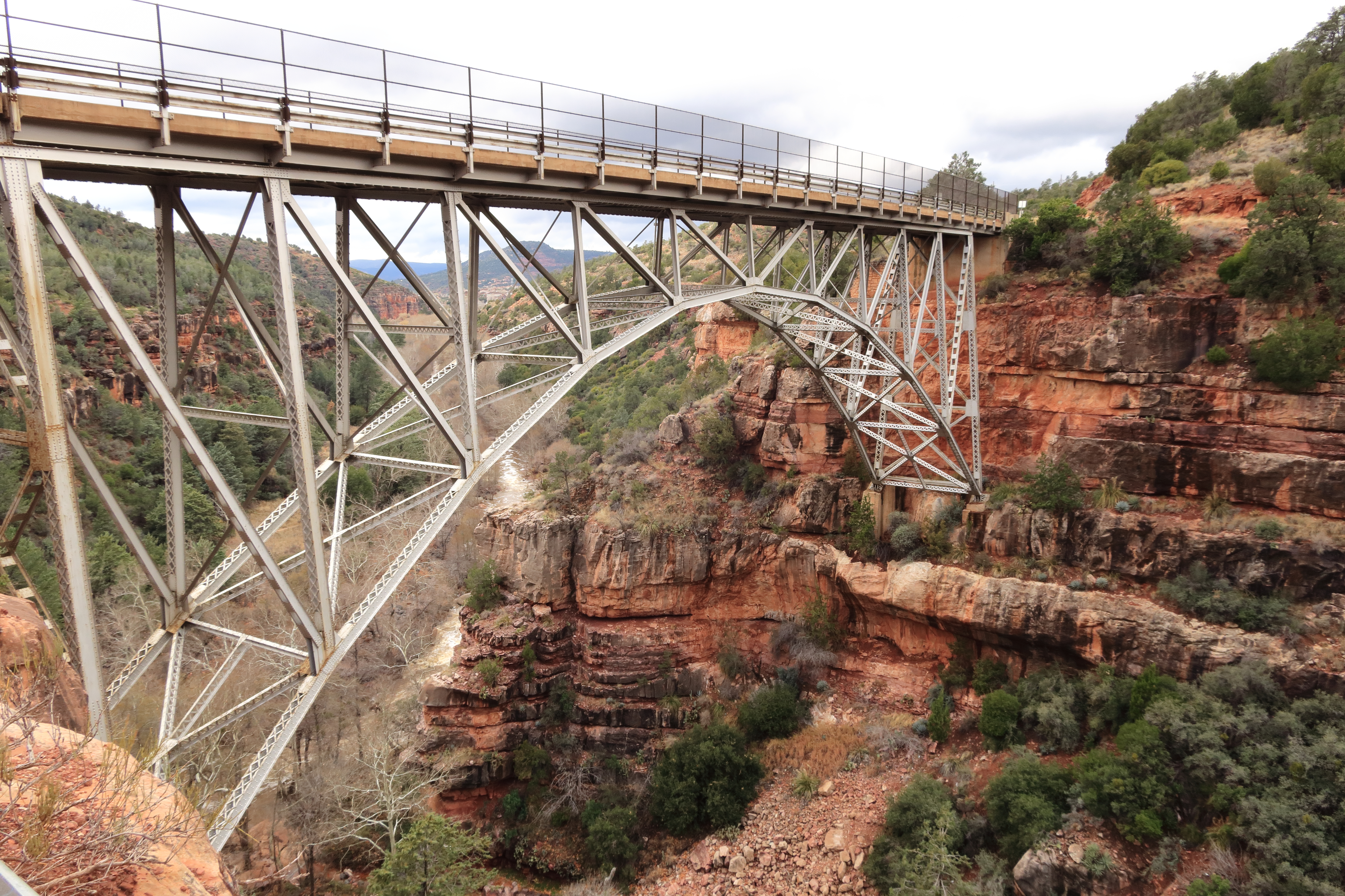
Midgley Bridge with Oak Creek in the background
The first place we stopped was Bootlegger Picnic area but the trail that starts from there required a creek crossing so that was not possible. Next we stopped at Encinoso Picnic site. From here, I loaded Silas in the backpack, Jamie leashed up Maxx and we were off. Almost immediately, it began to lightly rain but not enough to cause us to turn back. Further up the trail however the trail got confusing. Different maps pointed to different cutoff locations for switchbacks up the mountain. No location was obvious from looking at the trail. I wanted to push on as I had trekking poles and GPS so we would cross the trail eventually. Jamie however wanted to turn back so we bailed and went back to the car. It was an ok hike for the travel day and a good warm up to introduce us to the area. In all, we hiked just 1.9 miles.
December 23rd GPS on Alltrails
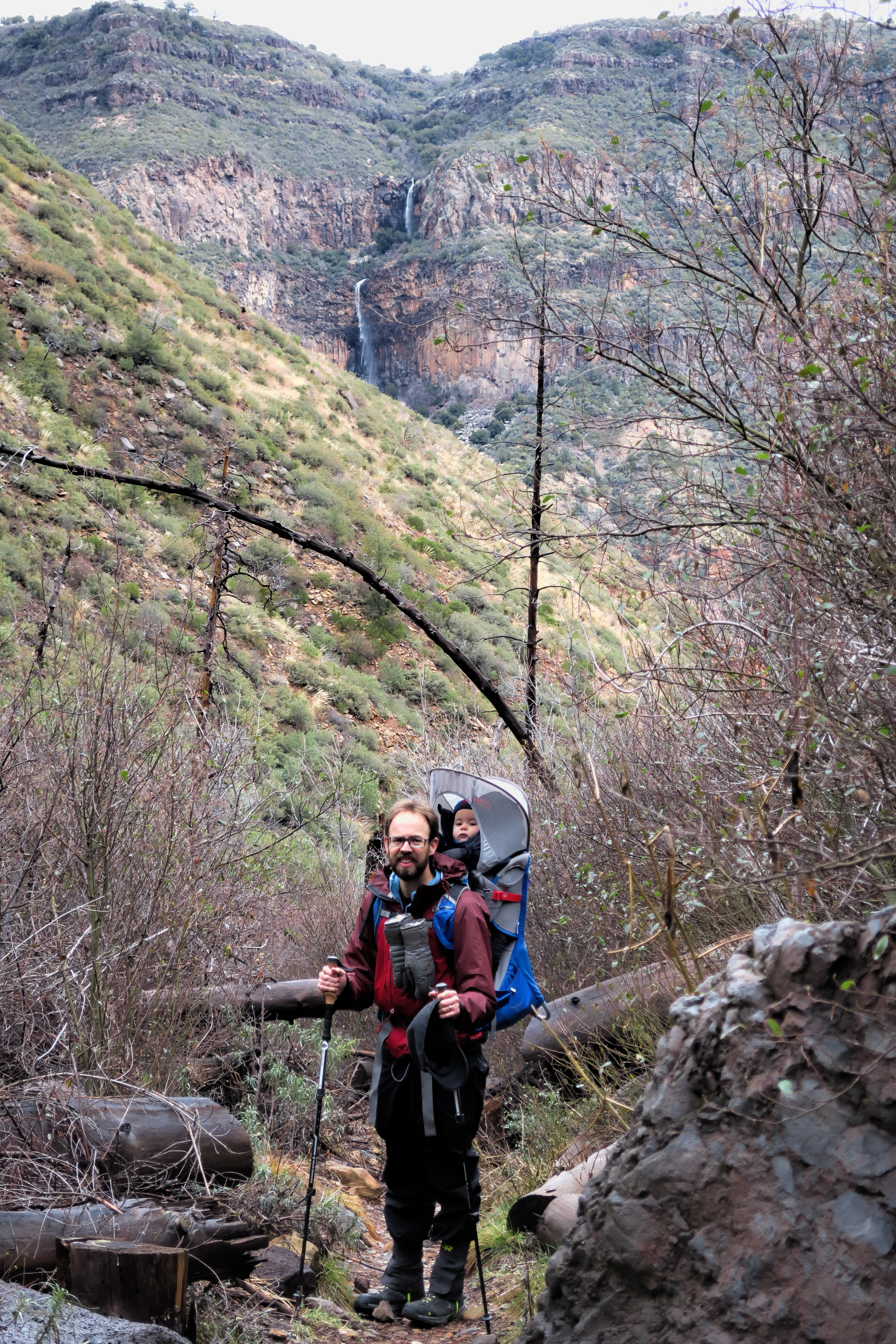
Those waterfalls in the background very rarely run
The next day was Christmas Eve. The Inn delivered breakfast to us in a basket left on a hook on the porch. We visited the Midgley Bridge Picnic area and then had lunch at the Wildflower Bread Company in town. That was the extent of our exploring because a storm was rolling in. Maybe I would go on a hike without a baby but definitely not with a baby in tow. So we hunkered down and watched as the first few snowflakes fell; slowly at first and then turned into a full blown winter storm.
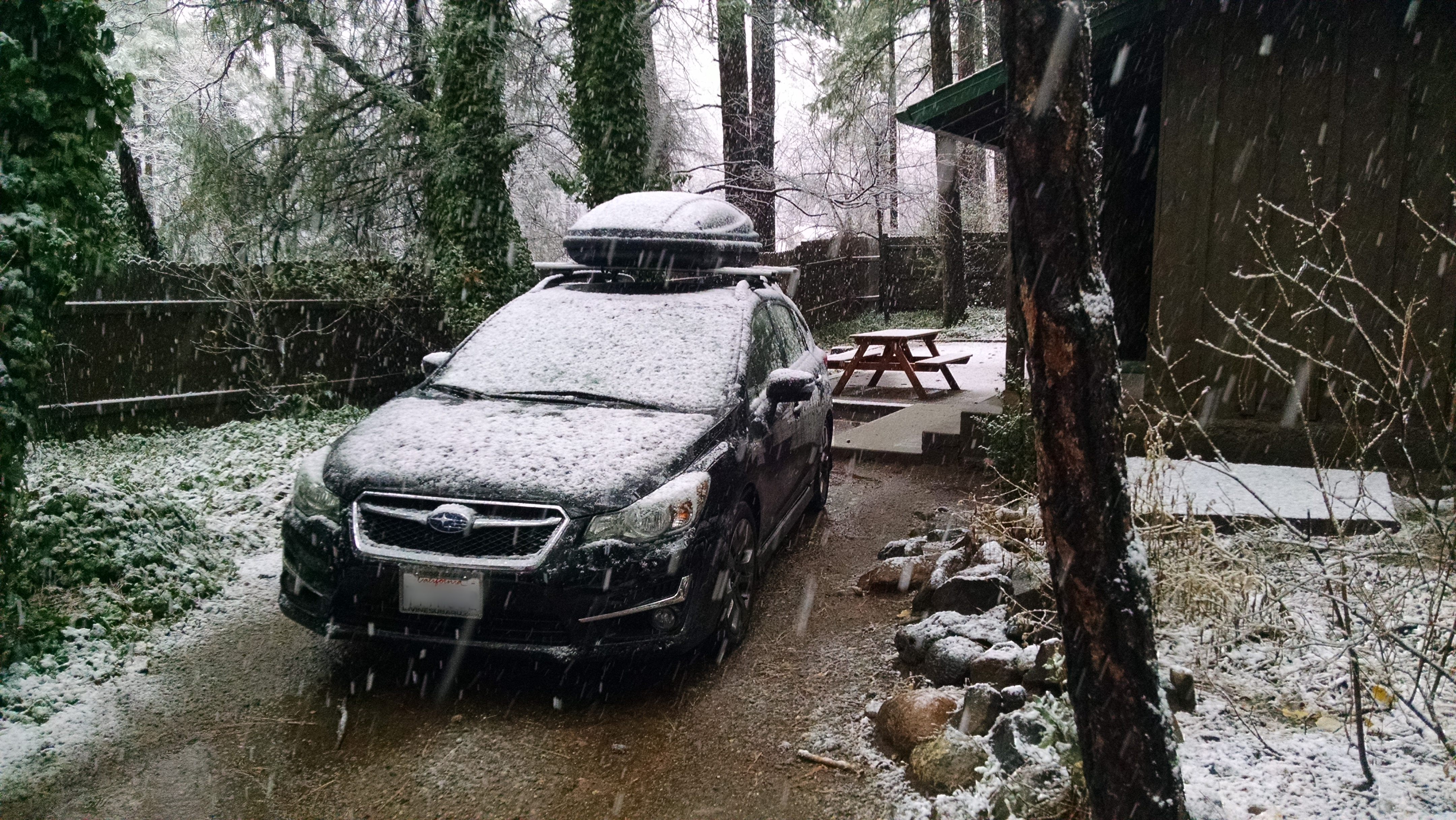
Our cabin just as the snow started to fall
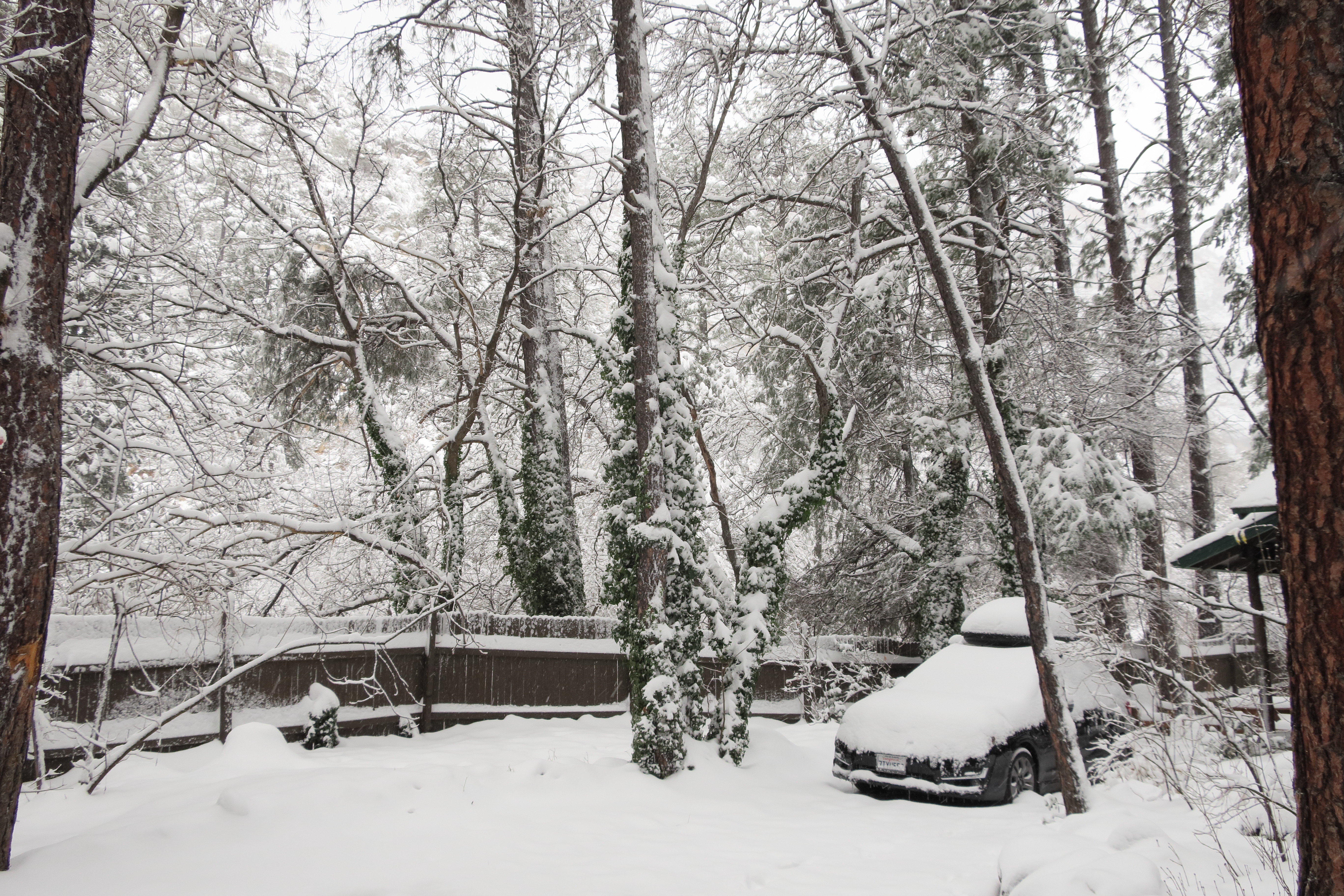
When we woke up Christmas day, the ground was covered with at least a foot and a half of snow and the car had at least two inches of snow on it too. Fortunately, I had the foresight to purchase an ice scraper and that snow fell right off. The Subaru has heated mirrors and windshield wipers so those were no trouble either. Once we gathered the courage, we piled in the car and set out. Our destination was the same one we stopped at on the way in; Bell Rock. The road was icy but fully plowed. The scenery however was completely changed. Up near the higher altitudes of our Inn, the Oak trees were completely covered in snow. This changed the landscape from one of dull browns and blues to one of shear white. The parking lot at Bell Rock was full so we moved to the adjacent one at Little Horse Trailhead. Down here, there was less snow but almost every rock or tree had at least some snow on it. It was like nature decorated for Christmas just in time.
Christmas morning at the Butterfly Garden Inn
Every scene is transformed by the snow
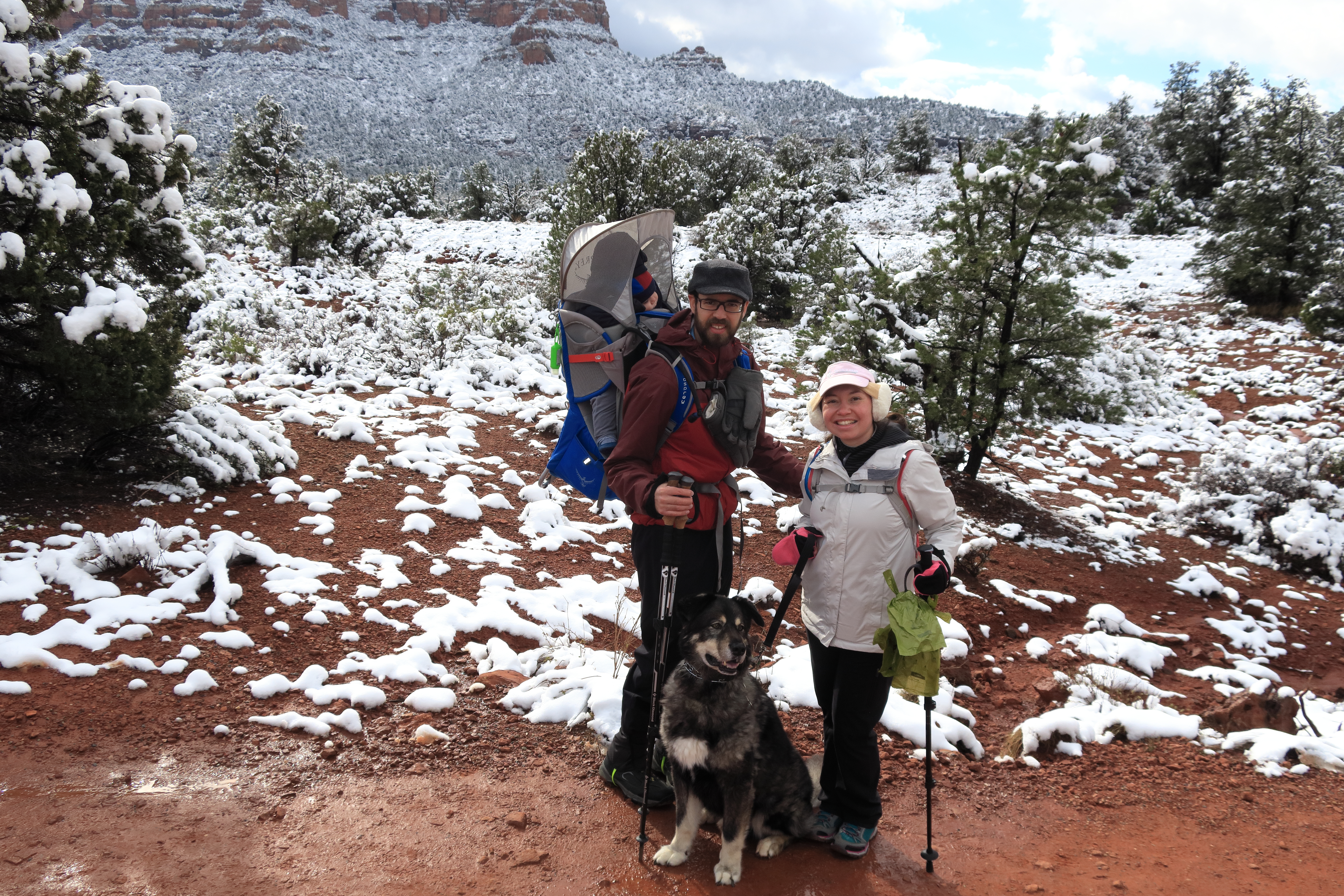
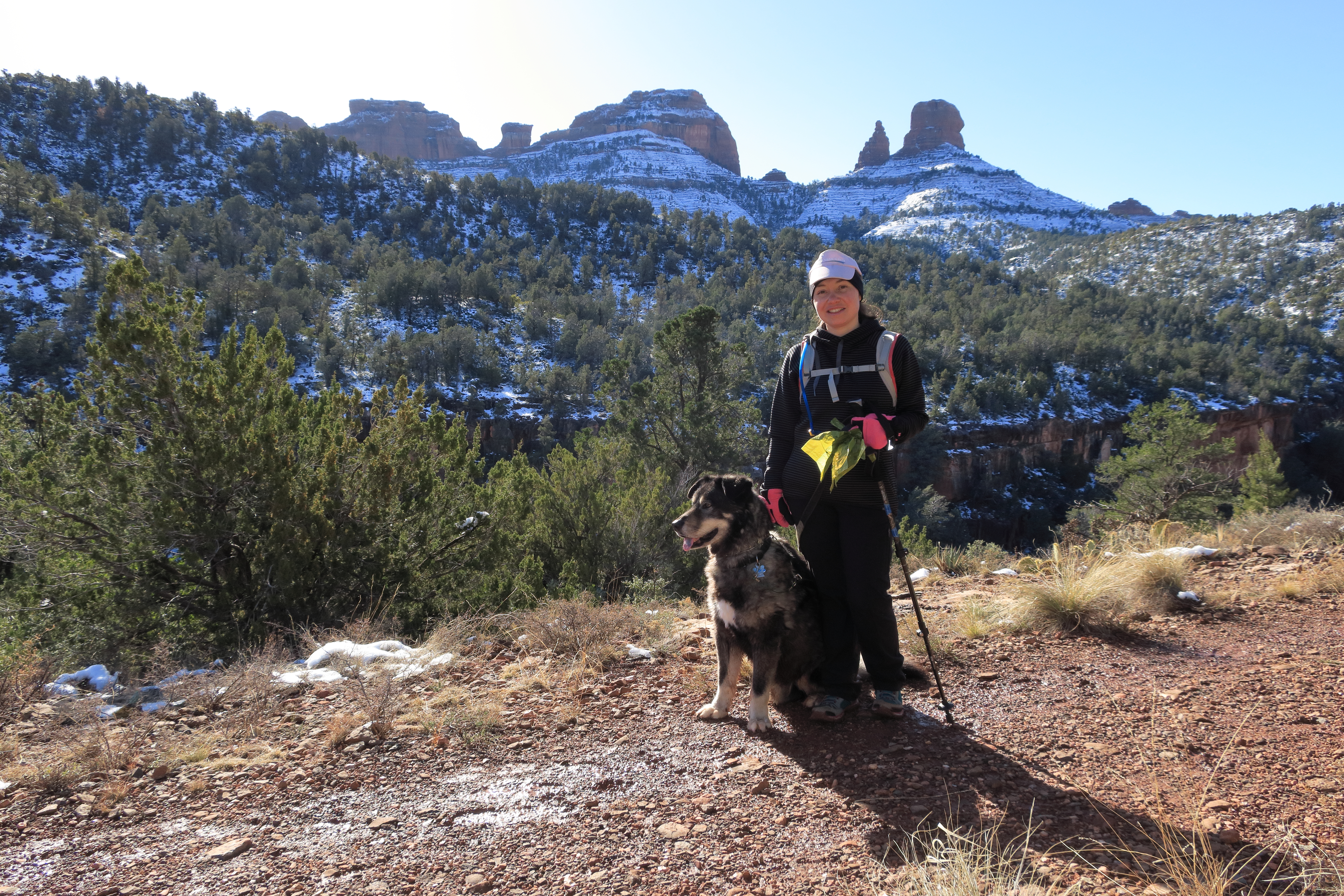
The area around Bell Rock is decorated just in time for Christmas. Silas is sleeping of course.
From here we linked up a half dozen trails and did a 5.9 mile hike over mostly flat or rolling terrain. It wasn’t too cold and Silas and Maxx both had a great time. The path took us to Bell Rock, around Baby Bell, across the highway via a tunnel system, to a view of Cathedral Rock off in the distance, across the highway again by more tunnels, and back to the car.
December 25th GPS on Alltrails
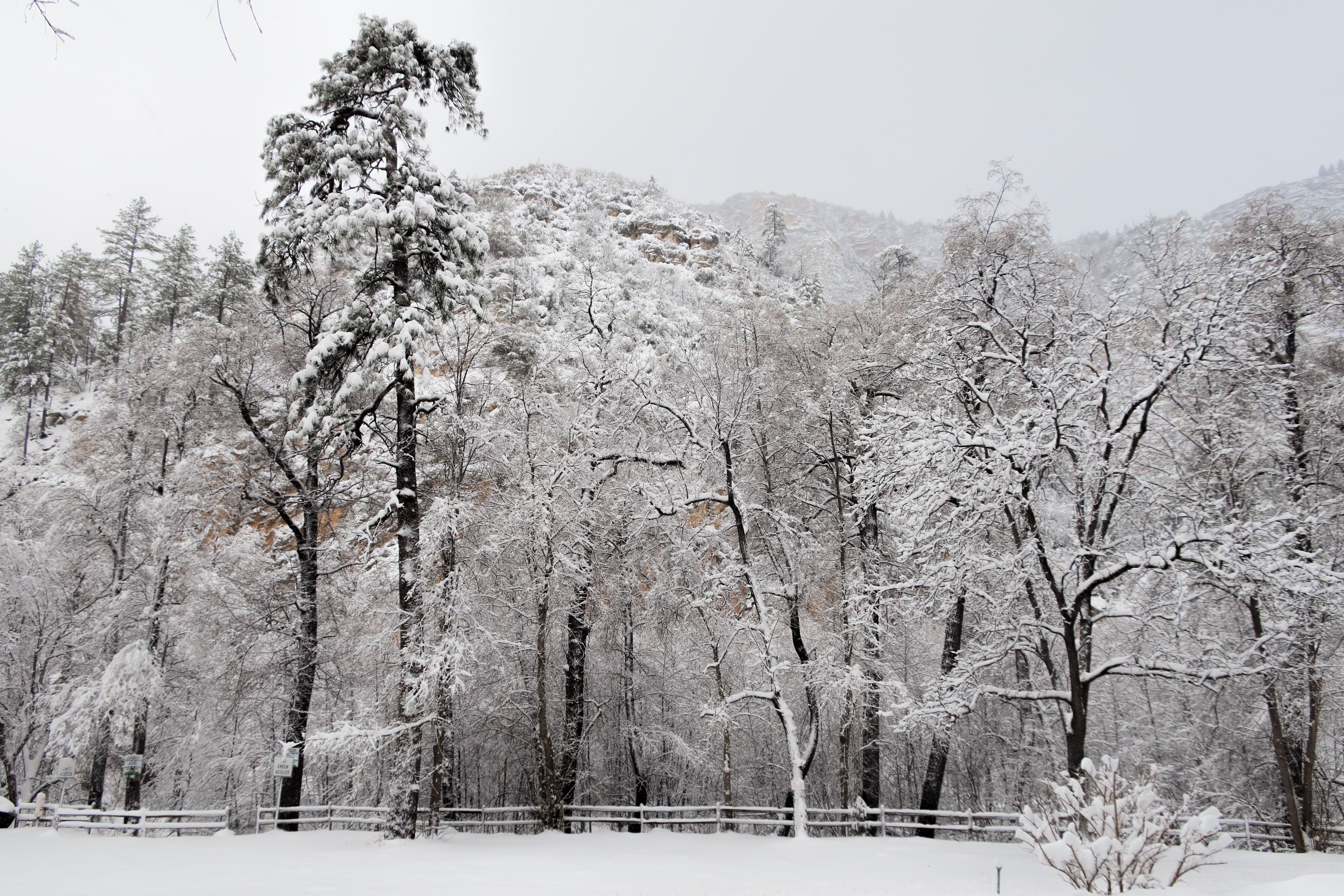
The snow seemed to stick mostly to the trees around Bell Rock
Silas finally woke up for the last parts of the hike
After the hike, we went straight back to the Inn. No restaurants were open on Christmas day so we hunkered down and played toys with Silas and consumed food we had stocked up on the days before. The power went out a couple of times but fortunately the gas powered stove kept us warm even without power.
On the 26th, Jamie planned for us to visit the Red Rock State Park (the Arizona one this time). They don’t allow dogs so we had to day board Maxx at the local Bark N Purr Pet Care Center. So once we consumed breakfast at the Inn, we dropped off Maxx and proceeded to the State Park. They charge a small fee to park and from there you can park in one of many lots but we drove all the way in to the visitor’s center. It should be noted that the park sits in a little bit of a depression and because of this, there was almost no snow in the park. After we took a quick survey of the visitor’s center, we set off on a trail that would take us out of the park. We ended up hiking more outside the park than in it. The trail we connected with is Baldwin trail. It is a loop that took us right next to Cathedral Rock. Once we hiked back into the park, we took some additional trails and saw some of the old architecture within the park. People use to have a vacation house there before the land was donated. In total we hiked 6.7 miles.
December 26th GPS on Alltrails
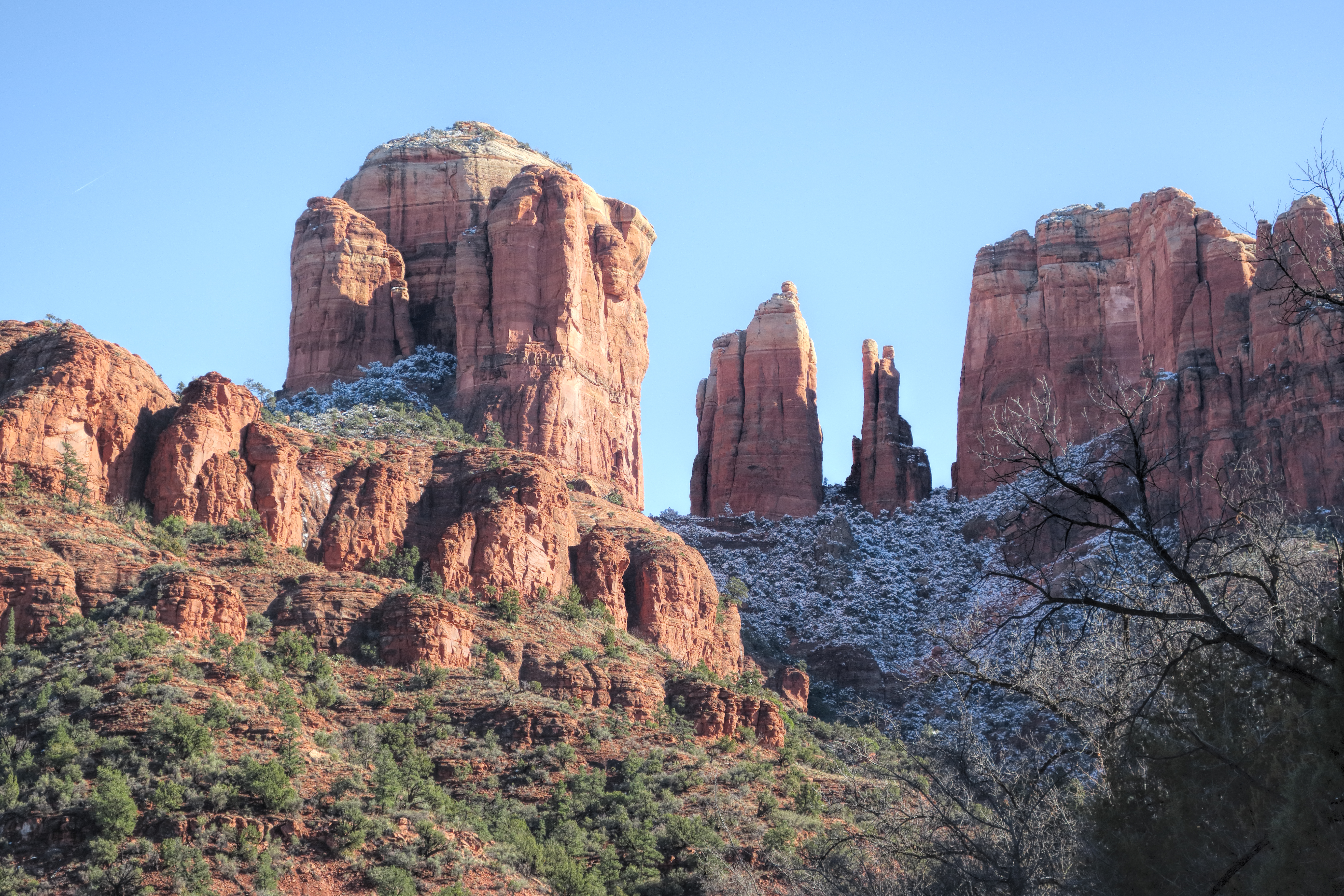
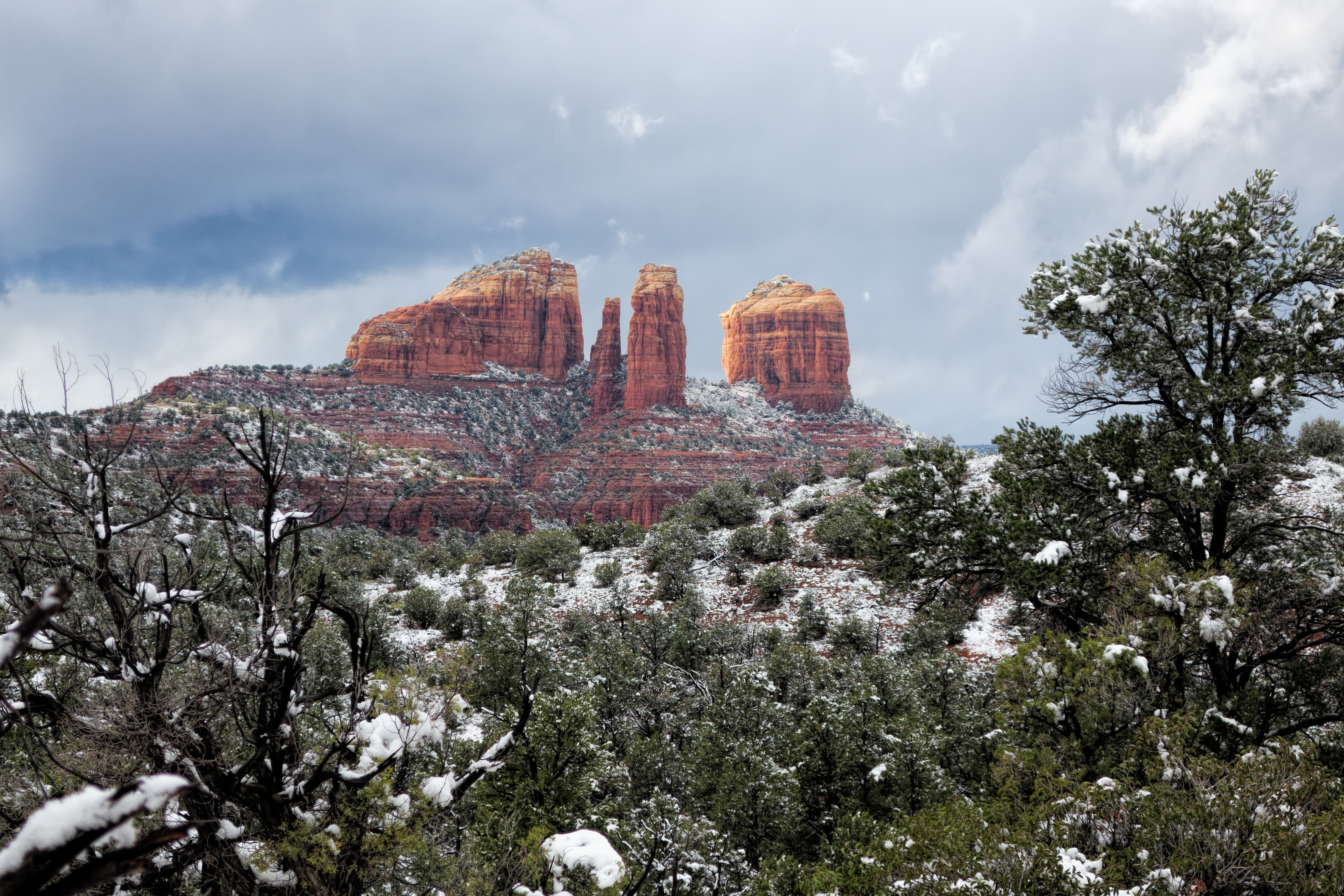
Cathedral Rock with a light dusting of snow
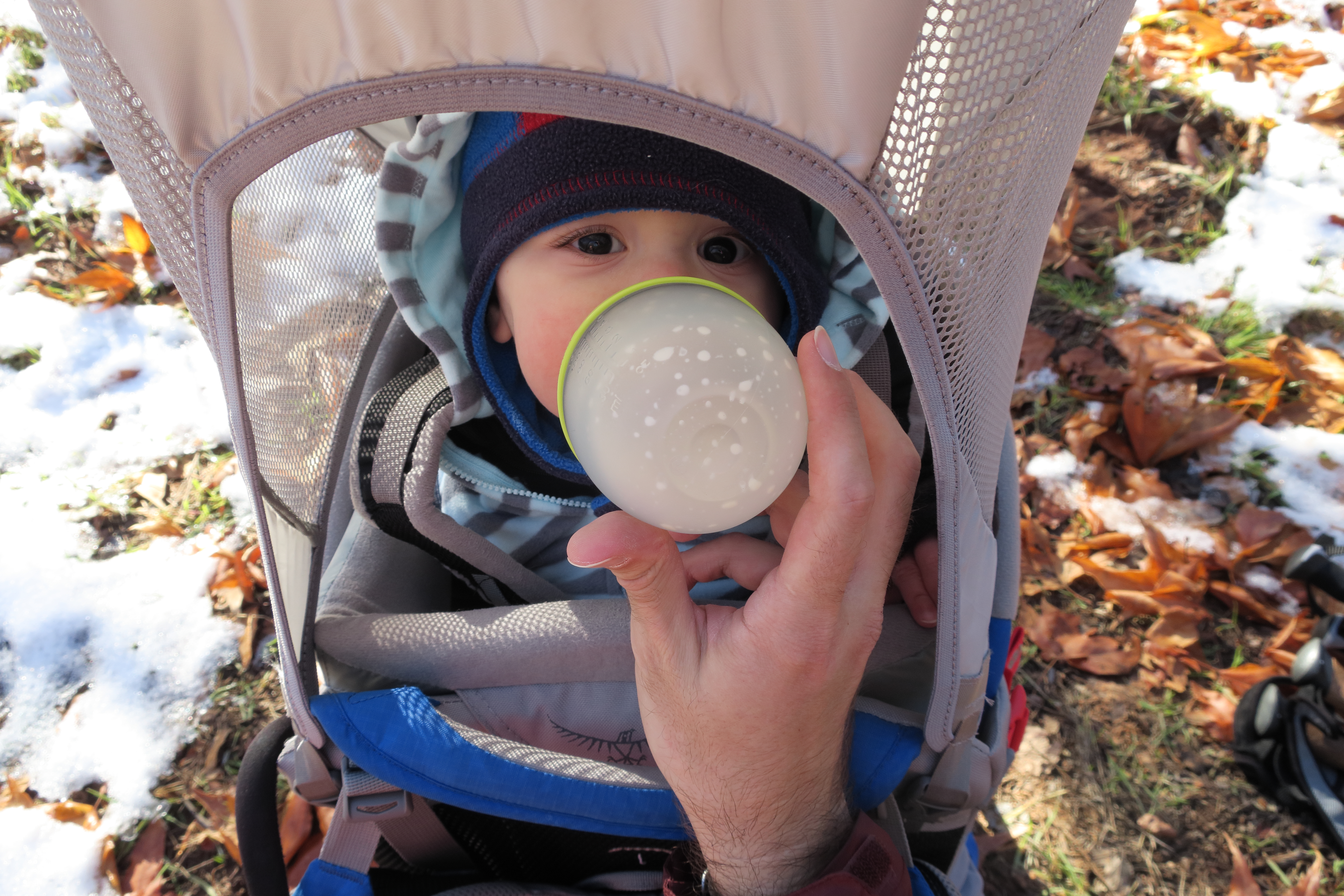
Silas gets hungry, even resting in the backpack
We visited the shop at the visitor center and bought some shirts and went to get some food at the Old Sedona Bar and Grill. Then we picked up Maxx and went back to the cabin at the Inn to rest up for our final day.
On the 27th, we packed up the car and said goodbye to our cozy cabin in the woods. We went to Midgley bridge which was packed now due to so many people wanting to photograph from there. We got some photos and decided to take a final hike from there. We hiked up Wilson Canyon which Connected with Wilson Mountain trail (the same one we started from the other side of the mountain our first day). Then we had a decision to make. We could go up the mountain but Jamie wasn’t keen on that idea. We could go down the mountain, or we could take a spur that should loop around. We took the spur only to soon realize it was not well traveled and the only prints in the snow were from deer. At some point even though GPS said we were right on the trail, only bushes were in front of us. Faced with trampling through bushes with a baby on my back or turning around, we decided to turn around. We took the spur back to the junction and then went down Wilson Mountain trail towards Midgley Bridge. And that’s the story about how we lost the trail in the snow with dog and baby in tow. In all, we hiked 3.9 miles.
December 27th GPS on Alltrails
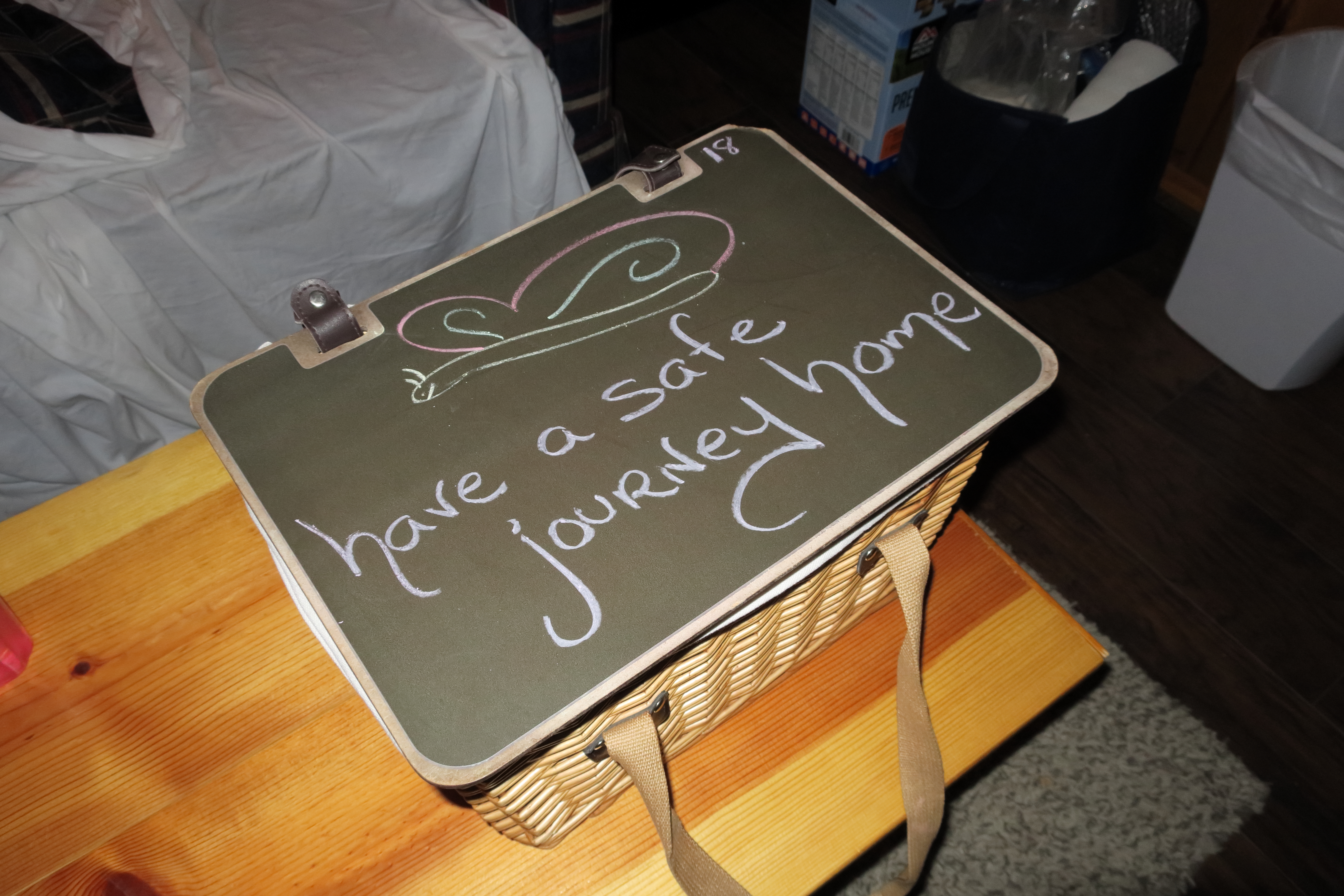
The final basket of breakfast goodies from the Butterfly Garden Inn before we checked out
Jamie and Maxx hiking up the Wilson Canyon trail
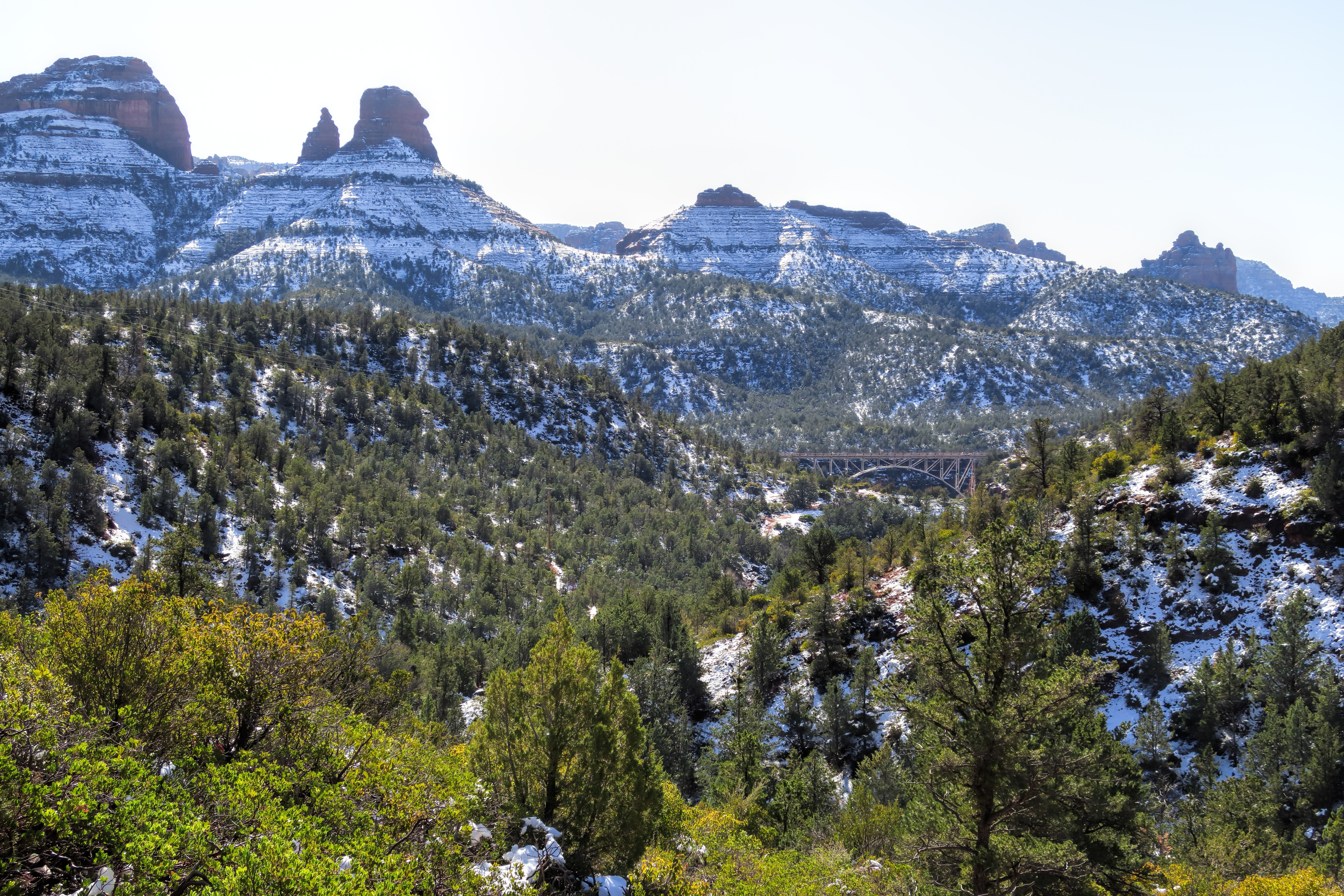
The view from the Mt. Wilson spur with the bridge off in the distance
On the way out of town, we stopped at Red Rock Café and grabbed a bite to eat. They had only one table that you could sit at with a dog so we took that one. We all loaded up on carb heavy breakfast type food to recover from the only moderately strenuous hike. Then we piled in the car and made the much too long drive all the way back home in Orange County California.
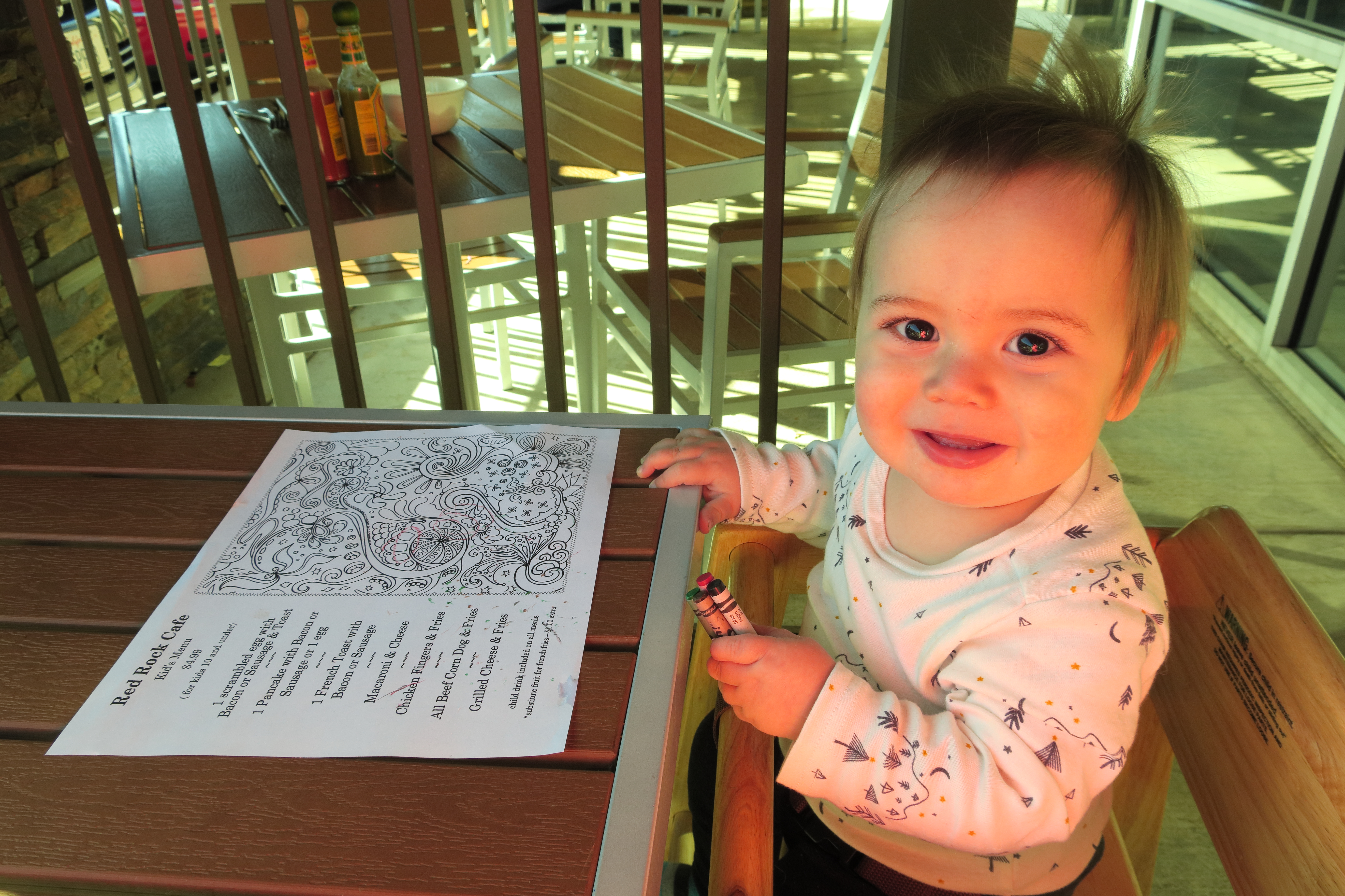
Silas enjoys coloring his menu at the Red Rock Cafe
You can see many more photos at the Gallery and remember you can support Shez Photo by purchasing prints and other products from there as well.