Adobe Creative Cloud
May 18, 2013
I have had the fortune of getting to spend a lot of time watching videos on tv.adobe.com and learning about things I never spent time learning about. This includes Illustrator and InDesign and really how to do all that cool stuff I knew was possible but never understood before. This comes at an interesting time for Adobe with respect to their recent announcement about how all software will be licensed via Creative Cloud. In other words, there will be no more boxed versions of Creative Suite after CS6.
This actually has a lot of people frustrated at Adobe. I am not one of them. The frustration goes something like this. If you are a design studio and buy every version of every product when it comes out then the CC way of licensing will lower you overall costs and spread them out. However if you are an occasional user of these products then you will end up paying more then you did before. In addition, even though archived versions of Creative Cloud releases are available to install, by paying a monthly fee, you are in essence paying for the newest upgrade whether you want it or not.
However, I am not tied in a knot like the rest of the Internet seems to be. I can see myself paying around $80 to licenses the entire CC suite (equivalent to the old CS Master Collection) for one month, and then not paying it for three or four months. In the meantime, as long as I save down my files, I can still open up CS5 of Photoshop and work on small edits as needed. For me, its not a big deal. In addition, it opens up all the rest of the applications I couldn’t justify before like Illustrator, InDesign and Muse.
Hopefully Jamie and I will be posting more photography soon. In the meantime, enjoy this flower I drew using the shape builder tool, perspective tool, ellipse tool, and pen tool in Illustrator.
Thoroughbred Lane
December 16, 2012
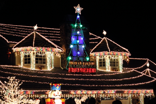
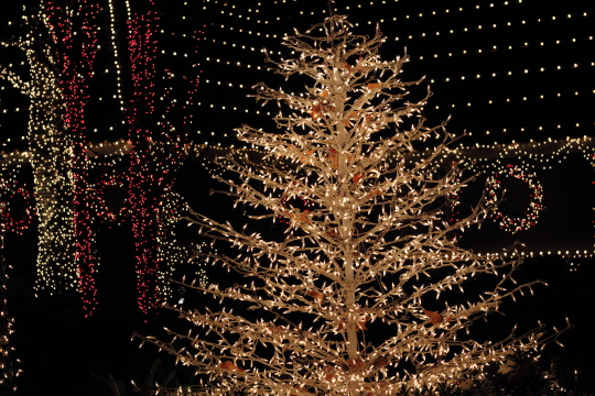
It’s my favorite time of year and that means a long overdue blog. One of my favorite things to do during Christmas is to go see light displays. In previous years we went to Fountain Valley, Hastings Ranch, Mission Inn and a Christmas light cruise in Newport but this year I wanted to go back to Thoroughbred Lane. We have been to this particular light display in years past but the last time we went was about 5-6 years ago. It is by far the most spectacular Christmas light display I have ever seen. The general opinion of the people that visit each year is that it’s comparable to Disneyland, and it’s almost as crowded too. My friend and I arrived early, around 6:30pm, and already the parking on the side streets was non-existent. You can drive through Thoroughbred Lane but you have to compete with the crowd of people walking in the middle of the street. I think you get the best experience by walking. Plus you will be able to stop at the random houses where the residents have set up booths to sell everything from hot chocolate to churros to candy apples. The neighborhood really goes all out and you can really feel the Christmas spirit in the air.
Check out the full GALLERY of Thoroughbred Lane.
Hiking and Exploring in Yosemite National Park
July 15, 2012
Jamie and I recently went on a trip with some other family and friends to Yosemite National Park. It took eight hours including one stop to make it to the park. After an entire travel day we arrived in our cabin located within the park in Yosemite West. This is located well after Wawona and just before the turn off to Glacier point on highway 41. We stayed in a two story cabin with three bedrooms and another room that can convert the couch into a bed. Groceries were put away and we settled in to get some rest before setting out to explore the next day.
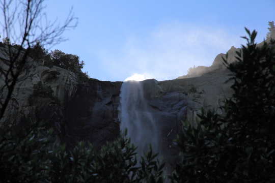
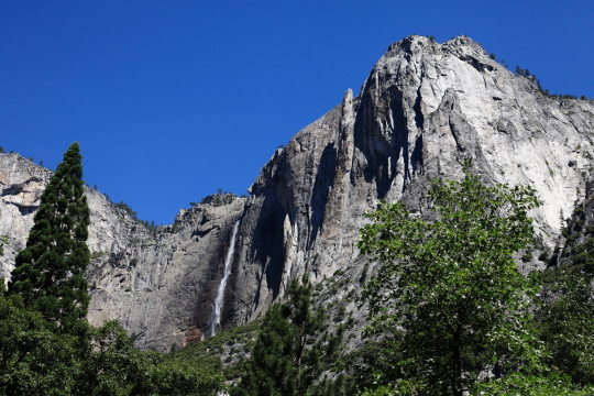
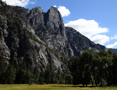
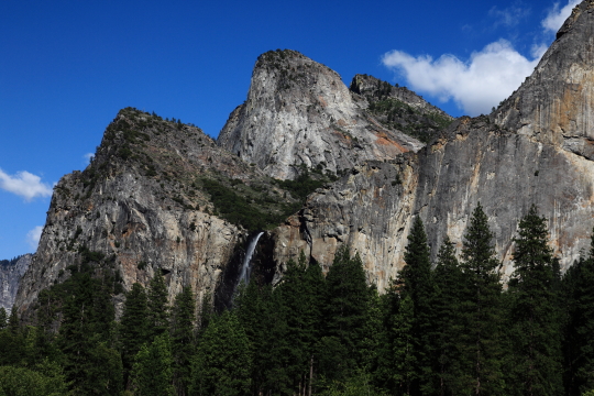
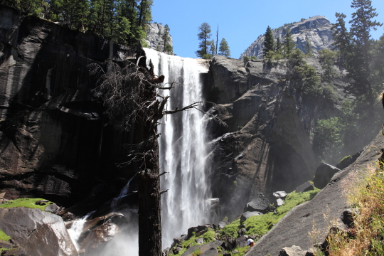
On the first day it was decided to go to the Valley and get a general feeling of Yosemite and visit some of the requisite locations such as the visitor center and the lower Yosemite Falls. The Valley is along Highway 41 and access by way of a long tunnel. There is also a second way in by way of El Portal road which eventually joins up to Highway 120. We did not explore any further north than the Valley however. When you exit the tunnel, you get a pretty good view of the valley. We also explored Bridalveil fall on the way into the Valley. It was on this first stop that we realized just how crowded Yosemite is this time of year. Hundreds of people scurried over the rocks where the path ended to get a closer look at the falls. The way past the end of the path was treacherous and even marked as such and not something that should be attempted while carrying a heavy DSLR. The path up to that point by contrast was paved and nearly flat.
After we did all these things we went back to the Minivan and had lunch. We spent the rest of the day in the Valley looking for ice cream. Again we were reminded of the crowds. There is a shuttle system in the valley and each shuttle was so packed that every inch of the isle had someone holding on to the hand railings and standing. A vast percentage of the visitors were from foreign countries.
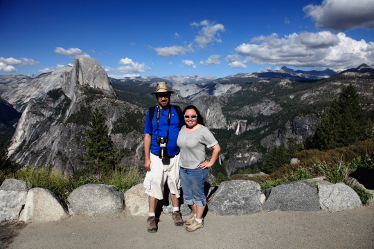
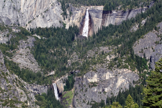
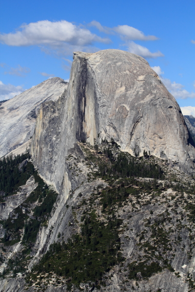
The last thing we did on our first day exploring was drive up to Glacier Point. There is also a path to this point but it is extremely strenuous and takes most of a day to do. At the top we found a crowded parking lot. Once we walked about a quarter mile though we saw the most amazing views. You are able to see everything from El Capitan to Half Dome to Cathedral Peak in the distance. Also visible are many of the falls including Upper and Lower Yosemite, Vernal, and Nevada. If you have Vertigo, you should stay well back from the railing. You can also see almost straight down into the Valley from here.
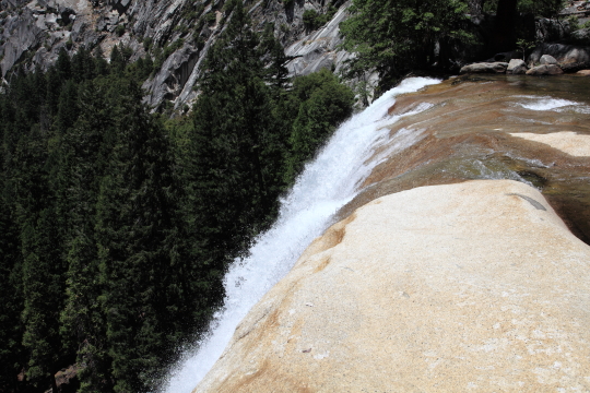
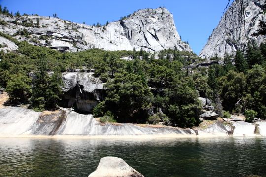
The next day we had breakfast at The Ahwahnee Hotel dining room. From there, Jamie and I went on our own hike and the rest of the group stayed around and explored the hotel. We went to hike Mist Trail. This is the trail which ends at Half Dome although we just took it to the Top of Vernal Falls. This is still a one and a half mile hike with one thousand feet of elevation gain. For most of this hike the trail is also called the “John Muir Trail” until just past the first spot you can see Vernal Falls and then the John Muir cuts right up some steep switchbacks. Mist trail continues along the water path and quickly becomes a path of makeshift stairs. Fortunately Jamie and I brought trekking poles which we put to good use on this section. The path brings you up to a section where the path is literally cut into the side of the mountain with a railing on one side and barely wide enough for two people to pass but only if they are touching. Once on top you can see Emerald Pool. This is a pool of water which sits pretty close to the edge of the falls although not immediately next to it. For this reason the signs say “no swimming” which the throngs of people who visited immediately disregarded.
Once at the top of Vernal, Jamie and I took a much needed rest and I put in a call to let people know where we were in the hike. Cell phone reception in the valley is pretty non-existent and this is one of the only places I could make a call from. We ate some snacks and finally started down. By this time of course our legs were like mush so the trekking poles came in handy yet again. For the decent we extended them about three inches and then took one step at a time until finally we got down to the shuttle again.
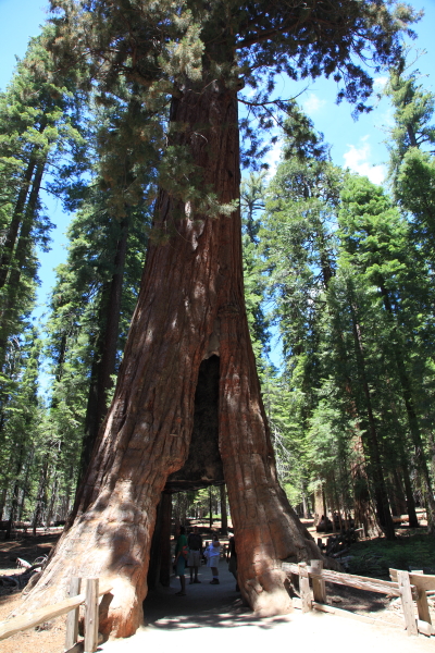
The last day our group had to explore Yosemite was spent in Mariposa Grove. There is a shuttle in Wawona which will take people over there during times when the parking lot is full. From the shuttle stop it is about one mile to reach two of the more interesting trees including the “Grizzly Giant” and the “California Tunnel Tree”. These trees are in the lower grove and if you continue on you can find many more interesting trees in the upper grove. The trees in the grove are diverse but the ones people come to see are the giant sequoia. The Grizzly is by far the widest tree I had seen before and the tunnel tree is cut out so you can walk right through it. Most of these trees have lived through at least one fire and you can see where the trunk is burnt and then covered over with new bark.
Finally our trip was at an end and we packed up and headed back. Somehow the trip back only took six hours so we got in plenty early to get some rest before work the next day.
To see more photos from our trip to Yosemite visit our GALLERY.
Catalina Island and Ocean Kayaking
June 3, 2012
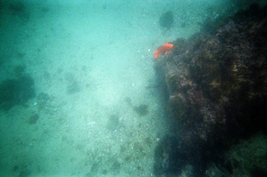
On our latest foray into the wild outdoors, we found one of those niches where film cameras still thrive; underwater. While underwater digital cameras have exploded onto the market, most people still use film for this purpose because the camera can be disposable and requires only a small investment instead of a large one. We also choose film for our Ocean Kayaking and underwater portions of our trip while we kept the Canon T2i double bagged in dry bags.
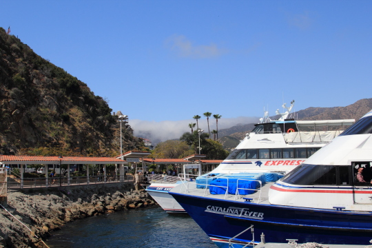 This weekend Jamie and I went to Santa Catalina Island on the Catalina Flyer out of Newport/Balboa. It was a packed boat and we were near the front of the line so I claimed a couple seats near the front on the second deck. Note to self, do not make that mistake again. The whole front of the ship seems to cantilever with the fulcrum being near the back. Therefore the front of the boat bobs up and down the most. To make matters worse, the front windows are useless unless standing so needless to say this is where most people start at who end up with motion sickness. I actually survived pretty well and didn’t have to move but Jamie had to take a trip to the open part of the deck for fresh air.
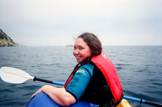
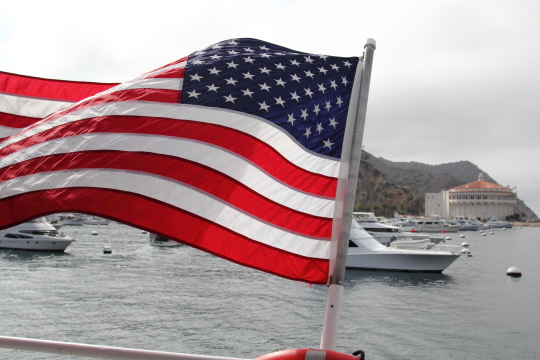 Once we arrived, we had our first activity planned out pretty well. We huffed it to the other side of Avalon Bay and into Descanso Bay where we rented the “Not so early Bird Special” of a two person Kayak, wet suits, snorkel gear and flippers, a soft cooler, and a large dry bag. We quickly donned our wetsuits and headed out into the water but not before double bagging the T2i and my cell phones and single bagging the rest of our clothes and stuff. We went east and slowly warmed up to the work of paddling in the open water.
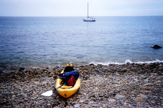
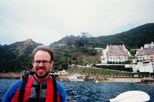 We went around a couple of points on the island and found a nice little cove which is only accessible via the water. I pulled the kayak up out of the water and sat down to eat some lunch. Kayaking is tiring work and I was super hungry and so was Jamie. Then after a short wait we put on our flippers and snorkels and headed into the cold sea. The boulders made the first couple of feet pretty difficult and we both fell over multiple times. Eventually I got in far enough to float and swam out a little. Our cove had a pretty dense kelp forest right next to it. This threw Jamie off for a moment until I mentioned that you can just float over it.
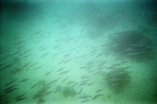
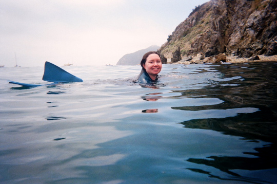 So we went out into the water until we reached the edge of the kelp. This ended up being the perfect place to be since this is where all the fish hang out. We saw schools of tiny fish I haven’t identified and we saw a lot of the Garibaldi fish. These fish whose scientific name is Hypsypops rubicundus are also the official state fish of California. They are bright orange and quite easy to spot. Once we got the hang of snorkeling, we tracked several groups of these fish who like to dart in and out of hiding.
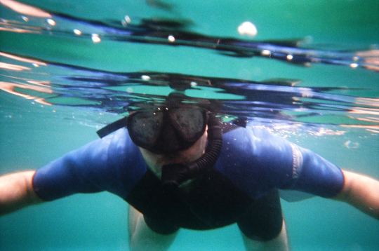 Content with our snorkeling fun, we packed back up and set out in the Kayak again. We had plenty of time left in our four hour rental so we went further around the island. We spotted a couple more fish in the clear waters and snapped some more photos from within the Kayak. When we turned around we also saw a Seal although it vanished under water as soon as we spotted it.
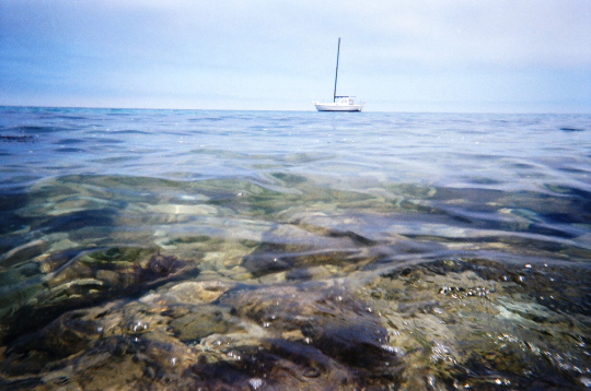 It turns out that on the way back, Jamie had enough of this paddling thing and let me provide all the energy to move the kayak while she took in the scenery. I at least settled into a nice rhythm and was able to get us back easily enough. We got back almost an hour early which was fine since we did what we wanted.
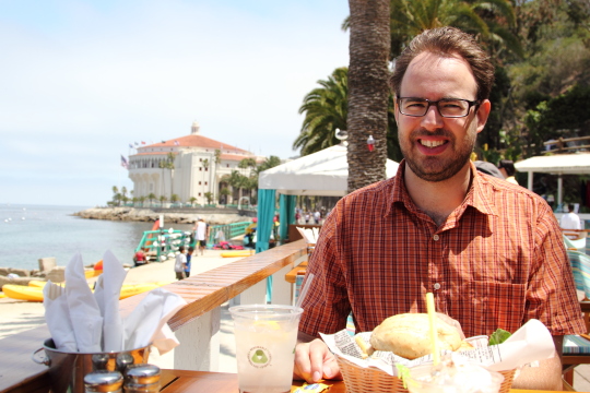
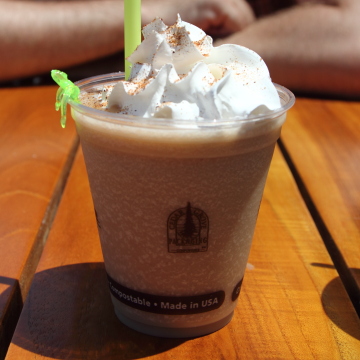
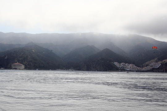
Since Ocean Kayaking sapped so much energy from the both of us, we decided that we should eat again. Descanso Beach has a bar and grill right on the waterfront. We ate there and then made our way back to the center of town. On the way back what did we do? We ate some more. This time coffee Gelato and chocolate cheesecake. Finally it was time to go and we got back in line for the Flyer. This time, we sat on the back and enjoyed the panorama of the island as it grew ever smaller and eventually disappeared from view.
Malibu Vacation
June 3, 2011
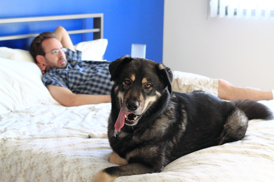
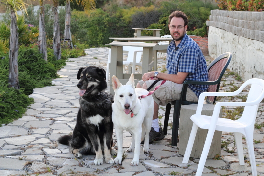
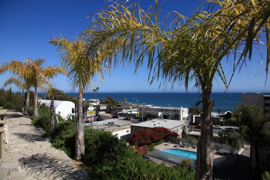
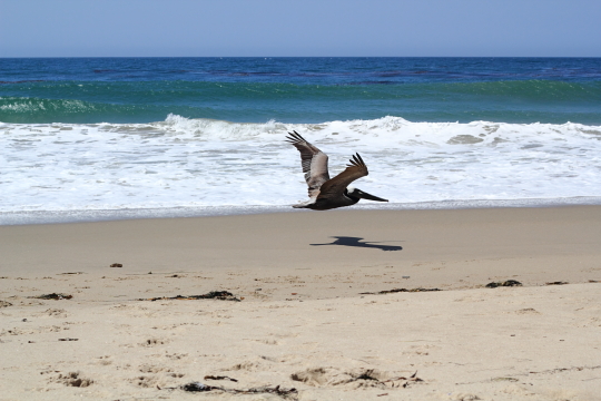
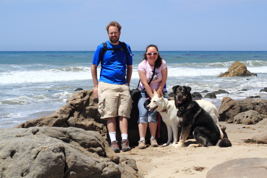
The traffic was dreadful. Barely moving we sat on the freeway stuck in the midst of Memorial Day beach goers. The parking lots off PCH were beyond full and cars filled every empty space along the road. Finally after two and a half hours we reached our destination; the Malibu Motel. It was a little bit ghetto and a little bit retro but it was a perfect place to get away from it all. On the first floor we didn’t get the more spectacular ocean view that our neighbors got on the upper floors but our dogs didn’t seem to mind. They finally got to vacation with us and they were enjoying every moment. Behind our hotel a rocky path led up the side of the hilly terrain that is a staple of PCH. At the top was the real view; something even the upper floors didn’t get. The air was salty, the sky was blue, the dogs were happy and life was perfect.
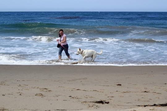
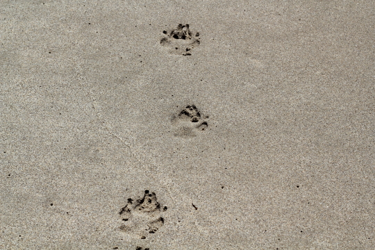
Even better in the next parking lot over was a grocery store (everything happened to be organic and whole grain at this particular establishment) and a delicious pizza place so we ate well too. After getting a mostly full nights sleep we ate breakfast looking out at the sea. Maxx however did wake us up a few times because he was hogging the bed. After, we loaded the dogs up in the car and headed north to Leo Carrillo State Beach which is about 16 miles away. Past lifeguard tower 3 the beach is open to dogs as long as they are on leash. On this sunny Tuesday we had this stretch of beach almost all to ourselves. It was pretty windy but the dogs didn’t seem to mind as we ran them down the coast. The air was salty, the ocean was blue, the dogs were sandy and life was perfect.
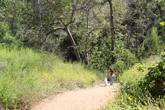
We decided the rest of the day would be for relaxation. The dogs didn’t seem to mind that either since they thoroughly enjoyed having a large king bed to sleep on. After checking out the next morning we again headed north to Solstice Canyon. I found this particular trail on bringfido.com as it is recommended as a great dog friendly hike and it certainly was. The trail is mostly paved, very well maintained, has beautiful scenery and is pretty easy. The dogs loved being out in nature and needed the exercise as much as we did. Maxx pulled Bryan up almost every hill while Pearl let me lead the way. We chose to turn around at the site of the burned down Roberts house. By the time we got back to the car we knew we were all ready to head for home. It was a great end to the last couple of days. The air was cool, the traffic was light, the dogs were fast asleep and life was perfect.
Loma Ridge Wildflower Hike
May 6, 2011
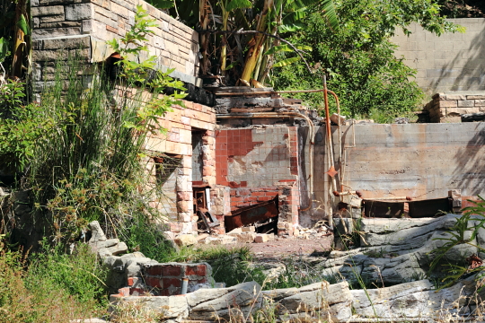
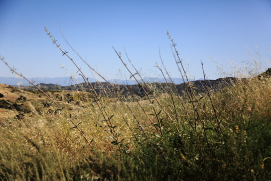
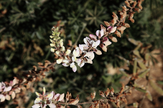
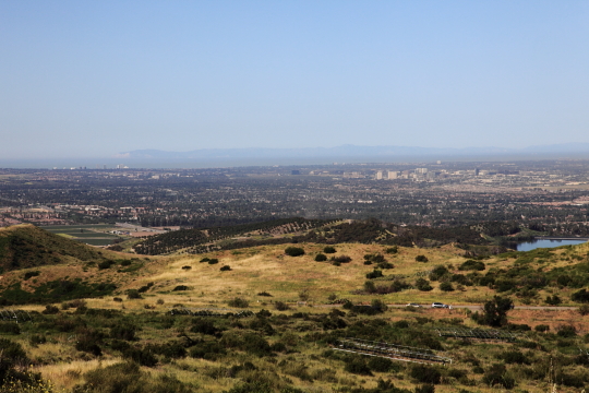
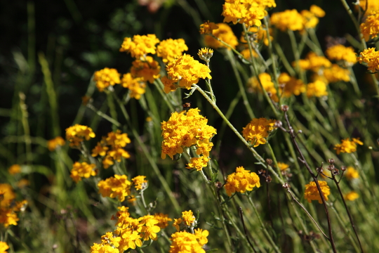
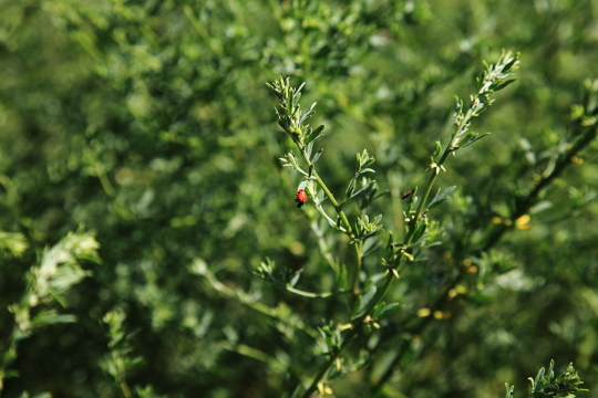
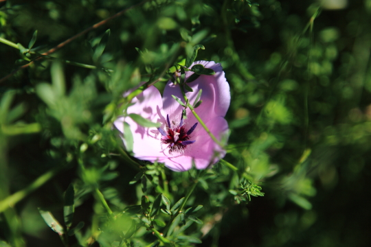
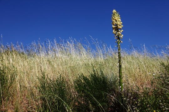
You can see more photos from my hike at Loma Ridge in our GALLERY. You can also click on the images below to see the large version.


